What Are the Roads Like?
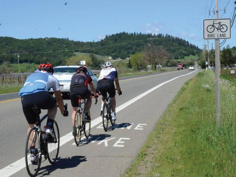
The bicycling routes our rental and tour guests frequent include a combination of quieter country roads as well as stretches along busier thoroughfares – including Hwy. 29 and Silverado Trail – where a Class II Bike Lane is present.
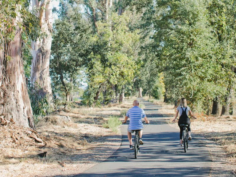
The Napa Valley Vine Trail is a car-free (Class I) trail open to bicyclists and pedestrians.
Two non-connected segments of the Vine Trail are open and ready to ride. The Napa-Yountville segment spans a total of 12.5 miles from southern Napa to Yountville. The St. Helena-Calistoga segment totals 8 miles between the two upvalley towns.
With three locations along the Vine Trail, Napa Valley Bike Tours offers the unique opportunity to ride point-to-point! A $20 per bike Relocation Fee will apply when you return bikes to a different store from where you started.
Choose a route with respect to your bike handling skills, experience riding in traffic, the weather, road conditions and your own level of comfort. Understand that you are choosing to ride at your own risk. Napa Valley Bike Tours disclaims responsibility or liability for the safety, accuracy, content or completeness of the directions, maps, cue sheets and route information.

Silverado Trail
-
Main thouroughfare
-
27 miles long from
Napa to Calistoga -
Class II Bike Lane from Trancas Street (Napa) to Calistoga
-
Posted speed limit: 45-55mph
-
Flat to gently rolling topography
-
More rolling hills & narrower Bike Lane between
St. Helena & Calistoga -
Panoramic vineyard views
-
High density of wineries
The Crossroads

-
Lower traffic roads linking Hwy. 29 & Silverado trail
-
Each crossroad averages
1-3 miles distance -
Portions of these roads have no Bike Lane or shoulder
-
Posted speed limit: 25-55mph
-
Mostly flat to gently rolling
-
Panoramic vineyard views
-
Access to some wineries
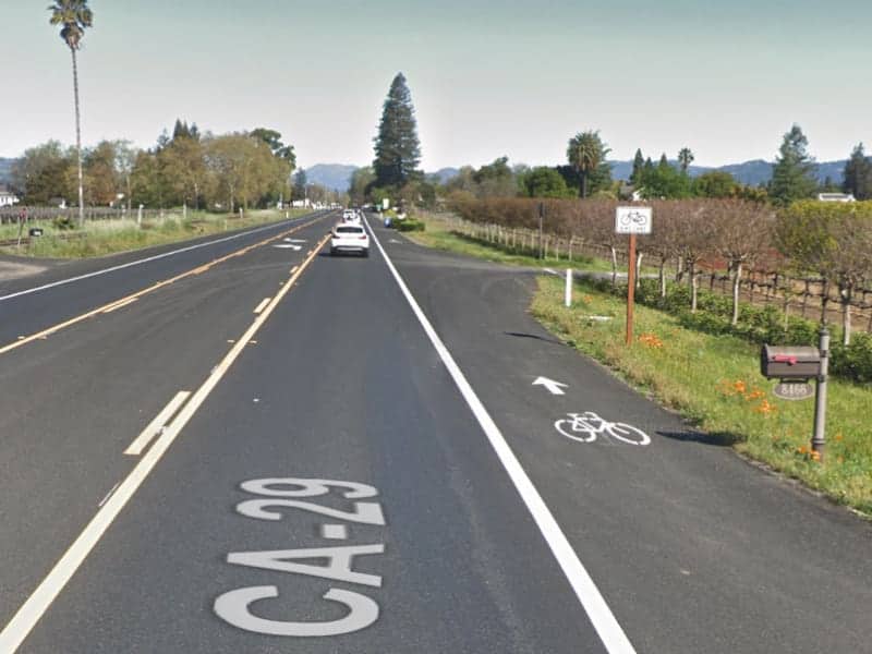
Highway 29
-
Main thouroughfare
-
Class II Bike Lane from Yountville to Calistoga
-
Mostly flat
-
Posted speed limit: 45-55mph
-
Main thouroughfare for truck traffic
-
Pronounced truck traffic
Sept-Oct (during Harvest) -
Panoramic vineyard views
-
High density of wineries
The Vine Trail
-
Car-Free recreational path
-
12.5 miles from southern Napa to Yountville
-
8 miles from St. Helena to Calistoga
-
Mostly flat
-
Open to bicyclists, wakers, runners, rollerbladers, etc.
-
Access wineries along or within 1-2 miles of the trail